Print Help
Cheyenne and Laramie County GIS Cooperative
| Laramie
County, WY Floodplain Interactive Map Print Help Cheyenne and Laramie County GIS Cooperative |

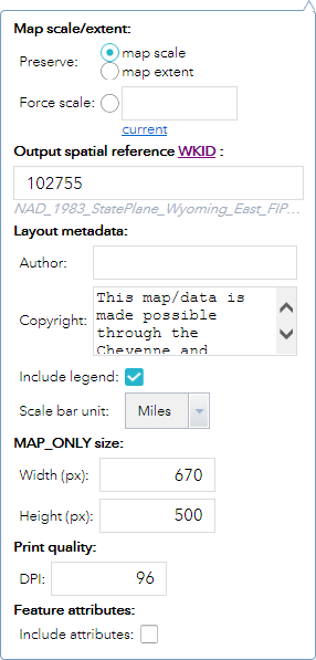
 collapses the widget and
clicking on the double down arrow
collapses the widget and
clicking on the double down arrow  expands the widget.
 closes the widget.