Coordinates Widget Help
Cheyenne and Laramie County GIS Cooperative
| Laramie
County, WY Floodplain Interactive Map Coordinates Widget Help Cheyenne and Laramie County GIS Cooperative |

 of the Coordinate
Widget expands the widget to allow the user to select alternate map
projections.
of the Coordinate
Widget expands the widget to allow the user to select alternate map
projections.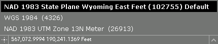
 allows the
user to get the coordinates of the next point clicked.
allows the
user to get the coordinates of the next point clicked.