Directions Help
Cheyenne and Laramie County GIS Cooperative
| PLSS Corner Records Interactive Map, Laramie County, WY Directions Help Cheyenne and Laramie County GIS Cooperative |

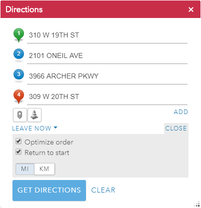
 will use your location for the associated destination.
 and then clicking on the map will add the nearest address found as a destination.
 and drawing a line across a route blocks the route where the line
intersects with the route. To draw the line, left click and hold while
drawing
the line and release to finish. To delete a barrier, left click on the
barrier with the Barrier icon active.
and drawing a line across a route blocks the route where the line
intersects with the route. To draw the line, left click and hold while
drawing
the line and release to finish. To delete a barrier, left click on the
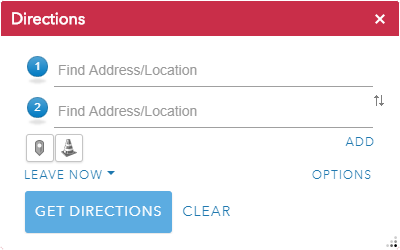
barrier with the Barrier icon active. located to the right of the second destination.
 to the right of a destination. The "x" icon only appears when a destination is clicked on.
 to the left of a destination. The dots may only be visible after clicking on a destination.
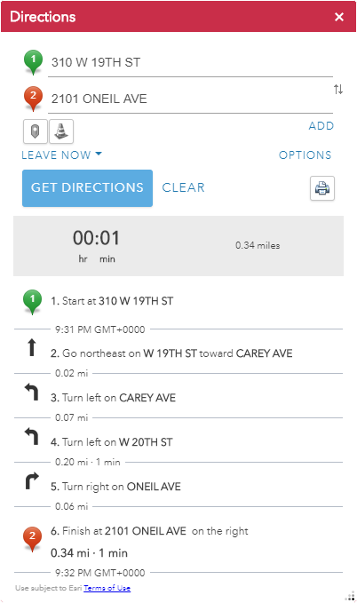
 will open a popup window with a map and
directions that can be printed to a local printer.
will open a popup window with a map and
directions that can be printed to a local printer.